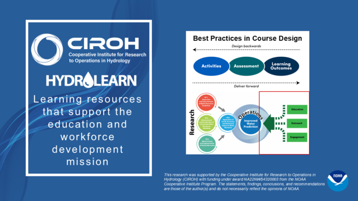
Learn
Students find and use learning modules in class or independently
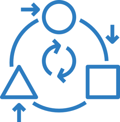
Use
Instructors discover and implement modules centered on authentic problems to engage students

Adapt
Instructors customize modules created by the HydroLearn community
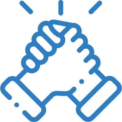
Collaborate
Instructors collaborate with other instructors to develop new learning modules